If you care about real AI applications, you should be paying attention to opengeos/geoai.
Not because it has flashy branding. Because it does something a lot of AI projects avoid: it integrates machine learning with geospatial workflows people already use.
That matters.

Start: what the project gets right
GeoAI is practical.
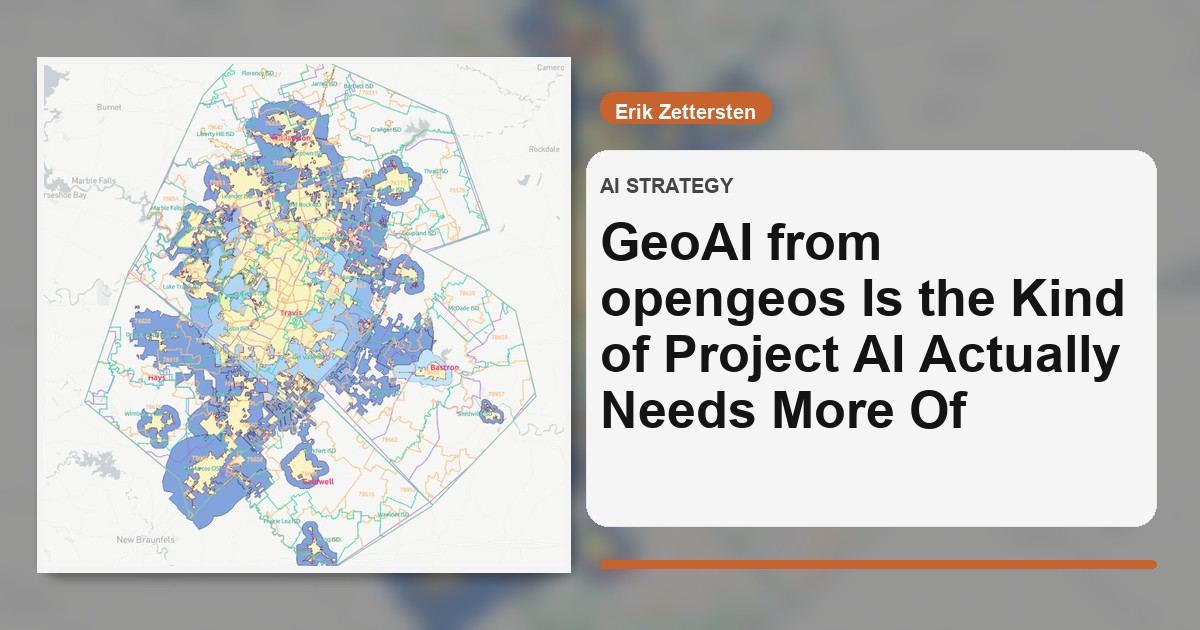
It sits in a real problem space—satellite imagery, vector data, segmentation, detection, and GIS-compatible outputs. It also meets users where they are with Python workflows and QGIS plugin support.
That’s the opposite of “here’s a model, good luck.”
Middle: why this is strategically important
Most AI talk is still app-layer theater.
Geospatial AI forces contact with reality:
- noisy inputs,
- scale constraints,
- map accuracy expectations,
- domain-specific validation.
When a project can bridge ML methods to operational geospatial tooling, it becomes infrastructure, not just a demo.
That is exactly where long-term value lives.
What I respect here
From the public project shape, you can see a few strong choices:
- integration with established geospatial ecosystems,
- support for segmentation/detection use cases that teams actually need,
- open-source posture that invites iteration instead of lock-in.
In a market full of closed black boxes, this is refreshing.
One caveat (important)
GeoAI success depends on data discipline.
No framework can rescue weak labeling, poor ground truth, or bad evaluation practices. Geospatial teams still need tight validation loops and clear error budgets.
Tools accelerate competence. They don’t replace it.
A concrete way to use it
If you’re an engineering or data lead, don’t “adopt GeoAI” as a slogan.
Run a bounded pilot:
- pick one measurable geospatial workflow,
- define baseline accuracy + cycle time,
- run GeoAI-assisted pipeline,
- compare operational delta.
If you can’t show measurable lift, iterate or stop.
End: my opinion
opengeos/geoai is exactly the kind of AI project I want to see more of: domain-grounded, technically useful, and interoperable with real production contexts.
Less buzzword energy. More durable utility.
That’s how AI matures.